Chairs of JURSE

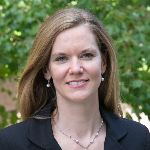
Eleanor Stokes
NASA, Washington D.C.
Dr. Eleanor Stokes is the Program Manager for the Earth Information Center. She leads a team of Earth scientists, artists, computer scientists, and communicators to develop physical and virtual centers to expand the public’s engagement with NASA Earth science, thereby amplifying its impact. The Earth Information Center program serves as an entry point for visitors into the NASA Earth ecosystem and a connection to deeper exploration of other NASA Earth science programs, tools, and data. In her role, Dr. Stokes works to improve public understanding about our dynamic planet, addressing access barriers to Earth data and insights that non-scientific audiences and underserved communities face.
Prior to joining headquarters, she served as a Principal Investigator leading mission concept development and scientific research activities for NASA’s Black Marble. She was an early user of Earth at Night data, refining the first processing algorithms and developing novel methods to track urbanization dynamics. She is a trained as an urban land scientist, and throughout her career has been interested in how human activities are shaping the planet.
Dr. Stokes holds a PhD from Yale’s school of the Environment, an MS in Mechanical Engineering from MIT, and a Bachelors in Math and Studio Art from Dartmouth College. She is a contributing author on the UN Global Assessment Report on Disaster Risk Reduction (GAR 2022), and has received honors for her scientific contributions, including being named as one of ESRI’s “Women Stars of Spatial Science” (2020), Geospatial World’s 50 Rising Stars (2021), and earning the Kuno award for scientists creating transformative social impact (2022). She also has had her design work shown in the Museum of Modern Art in New York, and is passionate about communicating science through visual media.

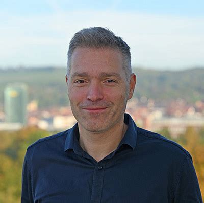
Hannes Taubenböck
University Wuerzburg, German Aerospace Center (DLR)
Hannes Taubenböck received the Diploma degree in geography from the Ludwig-Maximilians Universität München, Munich, Germany, in 2004 and the Ph.D. degree (Dr.rer.nat.) in geography from the Julius-Maximilian’s University of Würzburg, Germany, in 2008.
For his PhD he joined the German Remote Sensing Data Center (DFD), German Aerospace Center (DLR), Weßling, Germany in 2005. He did a postdoctoral research phase with the University of Würzburg (2007–2010) where he has been teaching ever since. He returned to DLR-DFD as a scientific employee. Since 2013 he leads the research team “City and Society” focusing on urban remote sensing topics, from the development of classification algorithms to thematic approaches towards new findings in urban geography.

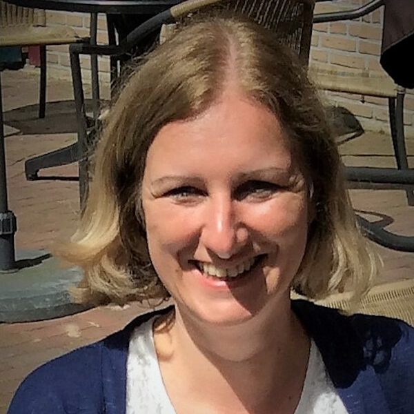
Monika Kuffer
University of Twente / ITC
Monika Kuffer received her PhD degree (cum laude) from the University of Twente, her MSc in Human Geographer from the TU Munich (Germany) and another MSc in Geographic Information Science from the University of London. Presently, she is working as Assistant Professor at the Faculty of Geo-Information Science and Earth Observation (ITC) of the University of Twente (Enschede, NL), Department Urban and Regional Planning and Geo-information Management.
Her main research foci are urban remotes sensing, in particular the monitoring of deprived areas (e.g., slums, informal settlements) as well as analyzing the urban form and dynamics with remote sensing, spatial statistics and spatial metrics. Her research is driven by the aim to provide spatial information to support planning and decision-making processes in complex cities, in particular of the Global South, to steer urban development towards more inclusive, resilient and sustainable cities.

Clément Mallet
Univ. Paris est, IGN-ENSG
Clément Mallet received the Ph.D in image and signal processing at Telecom ParisTech, France in 2010 and the Habilitation in Geographic Information Sciences at the University Paris Est, France, in 2016. He is a permanent researcher in the LaSTIG lab. of IGN, the French National Institute for Geographic and Forestry Information, since 2005. He is interested in geospatial computer vision, the field in-between machine learning, remote sensing, computer vision, and spatial analysis, with an emphasis in the dynamics of urban and natural territories. He serves as Associate Editor for the ISPRS Journal of Photogrammetry and Remote Sensing and Photogrammetric Engineering & Remote Sensing.
More info on:
